
Hiking to the Summit of Mount Sibayak Volcano in Northern Sumatra
Disclosure: This blog is reader-supported, and some posts contain affiliate links. If you make a booking, I may earn a small commission—at no extra cost to you. Thank you for keeping me writing and doing what I love!
I’ve smelled this kind of sulfur before. Heard this hissing before, too.
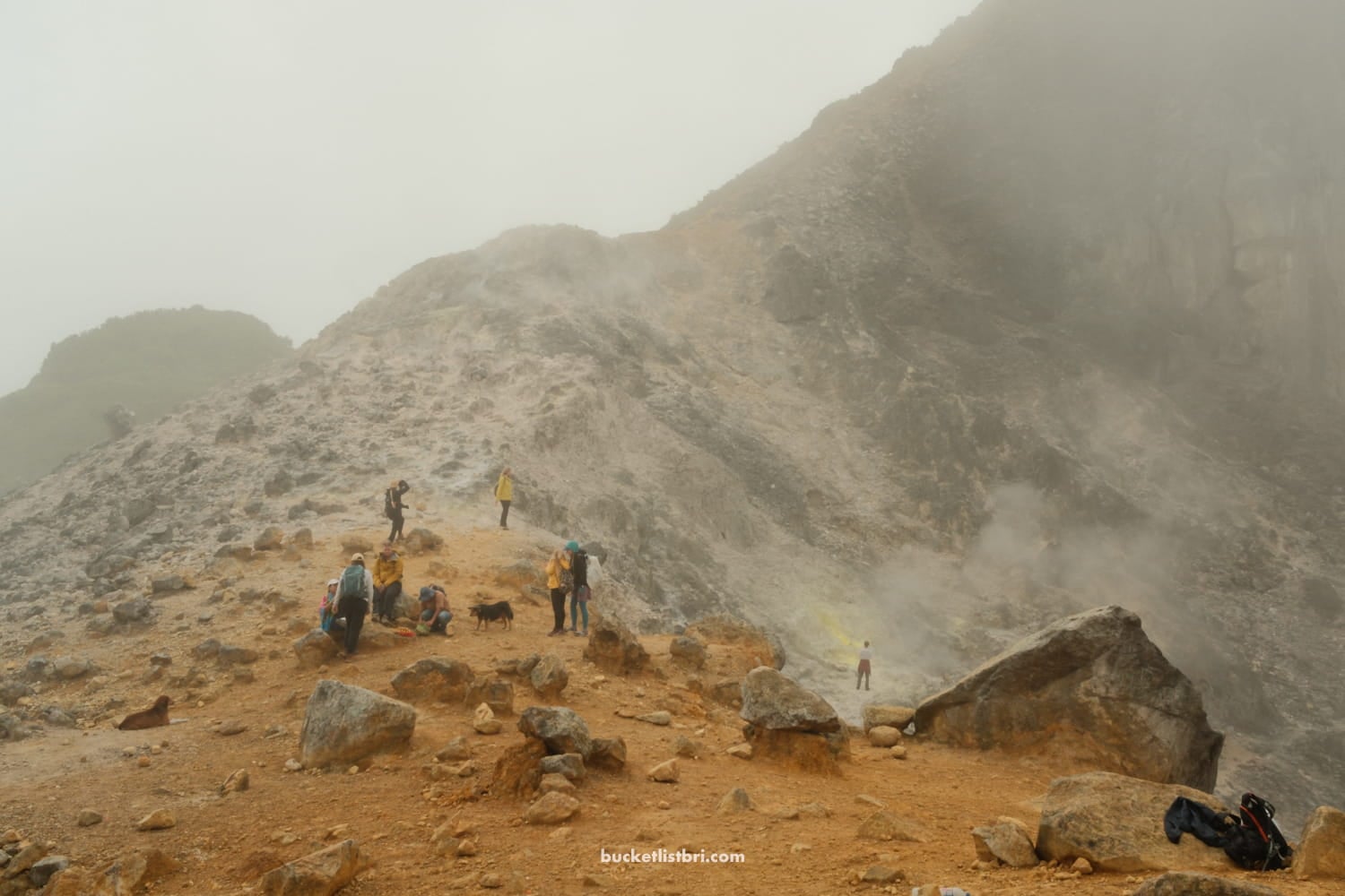
Both indicate that I’m nearing my destination: the summit of Mount Sibayak, an active stratovolcano with sweeping views overlooking the rust-colored corrugated roofs of Berastagi, a cool, mountainous town in northern Sumatra. 🌋
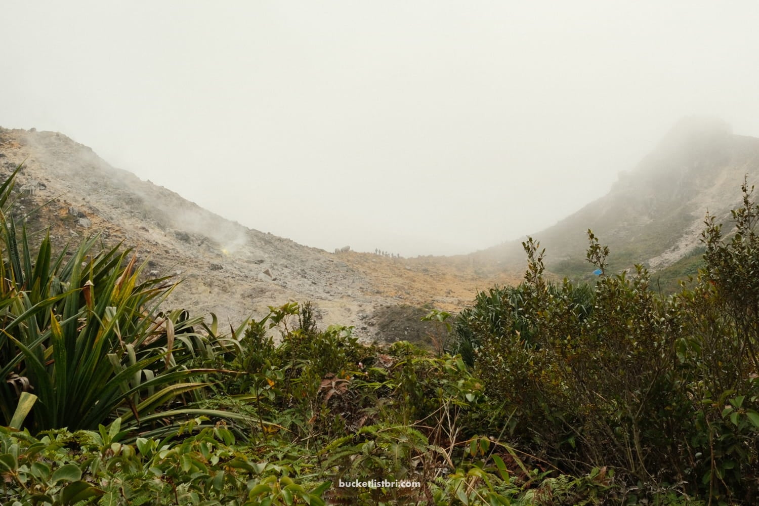
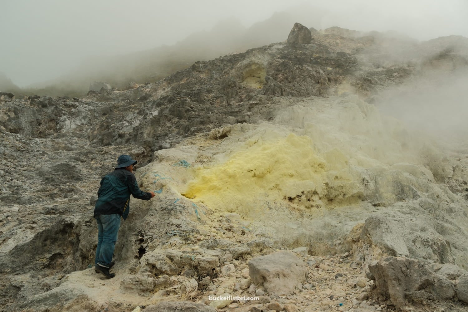
Despite its last eruption in 1881, Sibayak volcano remains very active. The hissing fumaroles, tinged with a neon yellow around their molten center, are proof of that, I thought.
Our guide picks up small pebbles and tosses them in the hole. They hover a millisecond before ejecting up and out, the steam all too powerful to allow them entrance.
We’ve made it so far, the ~2-hour hike from the trailhead to here, the slopes of the smoking crater — a steady uphill climb through ravines, bush, and at last, to the rocky terrain. But there was a bit further to go. To reach the summit covered in clouds, at 2,212 meters…
If you’re looking for a hike in North Sumatra beyond the sweltering jungle, Mount Sibayak is worth the side quest.
With a smoking crater, an accessible summit, and an easy–to–moderate trail, it’s one of the best choices for a day trip adventure or guided sunrise hike when visiting Sumatra. The climb can be steep in parts, but the payoff and views — not to mention the nearby natural hot springs for a deserved post-hike soak — are well worth it.
Here’s my quick trail guide to hiking Mount Sibayak.
Why Hike Mount Sibayak & Where Is It?
Compared with other volcanoes, Mount Sibayak is one of the easiest volcano hikes in Indonesia. But it’s thanks to its active, steaming fumaroles, cooler mountain climate, and nearby hot springs that make the hike worthwhile.
Plus, Sibayak is easy to get to. It’s accessible from Berastagi town, located just 2–3 hours from Medan, making it a popular pitstop between Bukit Lawang (orangutan trekking) and Lake Toba.
This hike, along with the two nights we spent in Berastagi town (at the 4-star Sinabung Hills Hotel), was a welcome change of pace after our humid jungle trekking in Gunung Leuser National Park.
How Hard Is the Mount Sibayak Hike?
- Difficulty: Easy to moderate
- Time: 1.5 – 2 hours, one way
- Elevation gain: 1,532 ft; 466 m
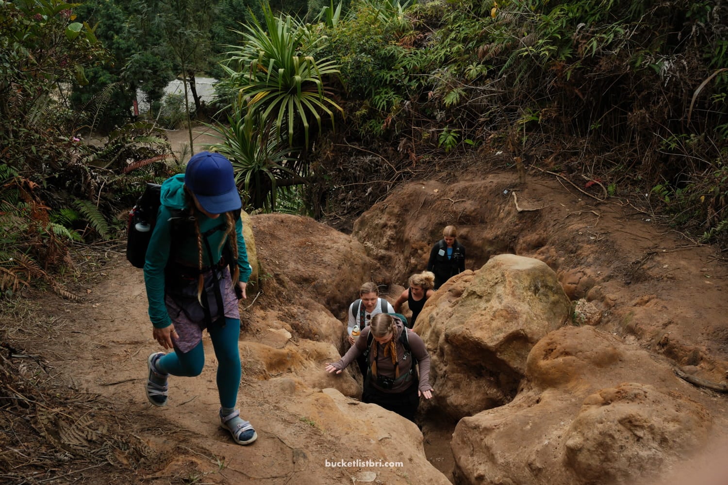
Mount Sibayak is a relatively easy hike. Yes, there are some short, steep climbs, but nothing that most active travelers and hikers can’t manage.
The trail does get extra slippery even with a light sprinkle, though, so grippy shoes are essential. Better to pack a rain jacket, too.
We climbed Mount Sibayak in mid-April and encountered a sudden downpour on our way back; the trail quickly turned into a small river.
Luckily, my friend Mandy from Traveling Natural Journal (trail name Veggie) — being the expert thru-hiker that she is — packed spare plastic bags, which saved my camera and lenses from drowning! My backpack, shoes, clothes — all soaked to the core.
But whether it’s raining or shining, the hike’s difficulty doesn’t budge much.
Mandy’s watch clocked 466 meters (1,530 feet) in elevation gain. So even though the summit sits at 2,212 meters (7,257 feet), the trailhead begins already at 1,785 meters.
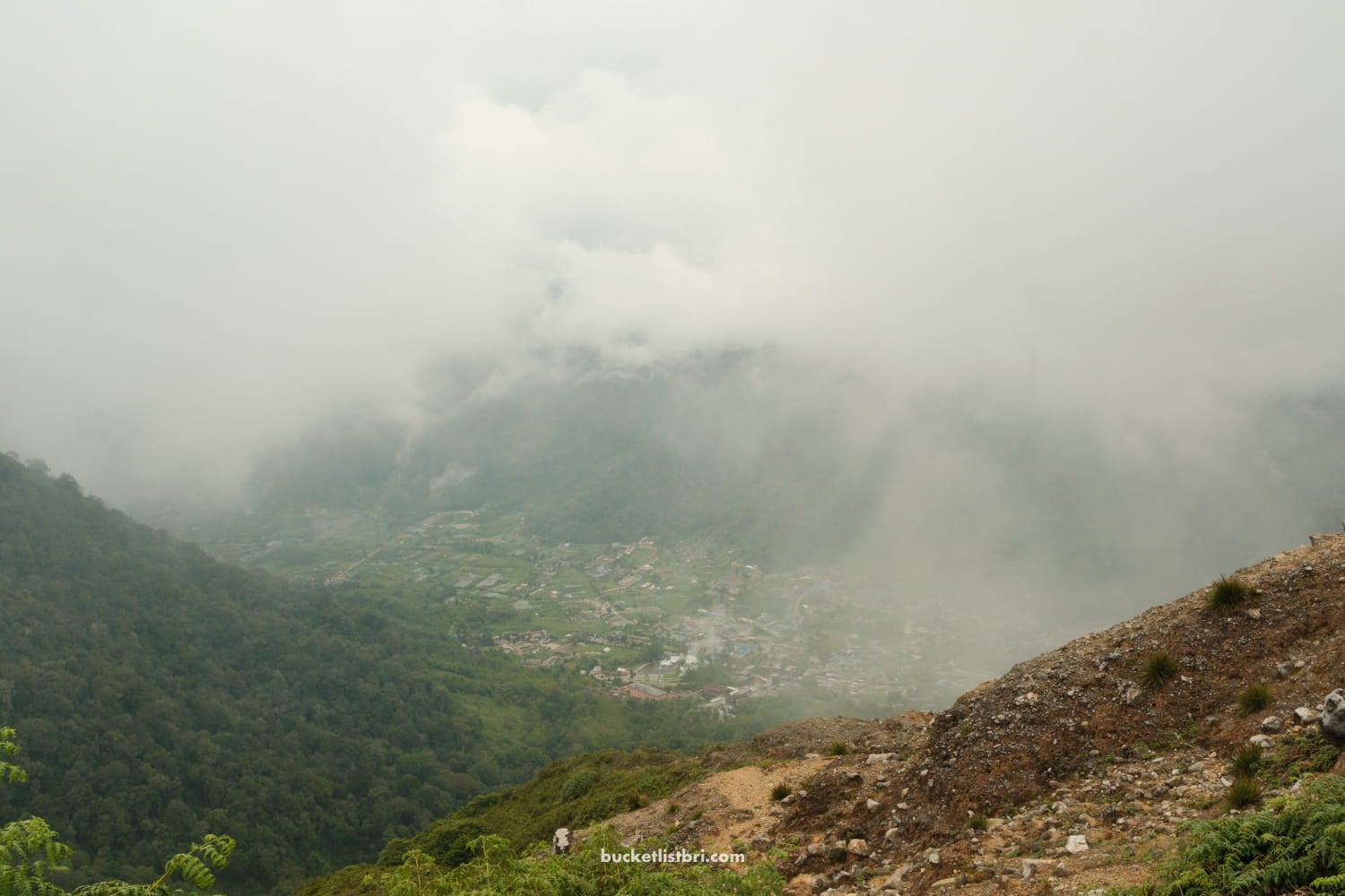
Plan to go earlier rather than later, as afternoon rain showers are common. This also gives you plenty of time to grab lunch and soak in the Berastagi hot springs after the hike.
Do You Need a Guide for Mount Sibayak?
Unlike with orangutan trekking, which requires a licensed guide, the Mount Sibayak volcano hike can be done on your own, although going via guided tour certainly helps in emergency scenarios, and for the extra perk of having someone who can point out all the neat flora and fauna you pass by along the way.
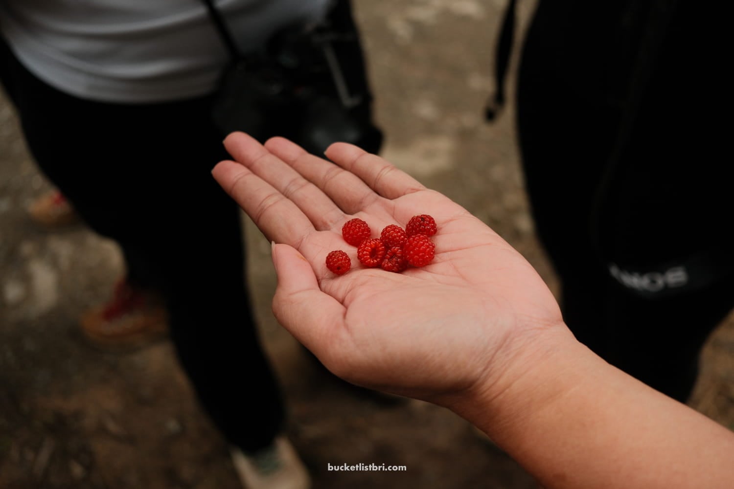
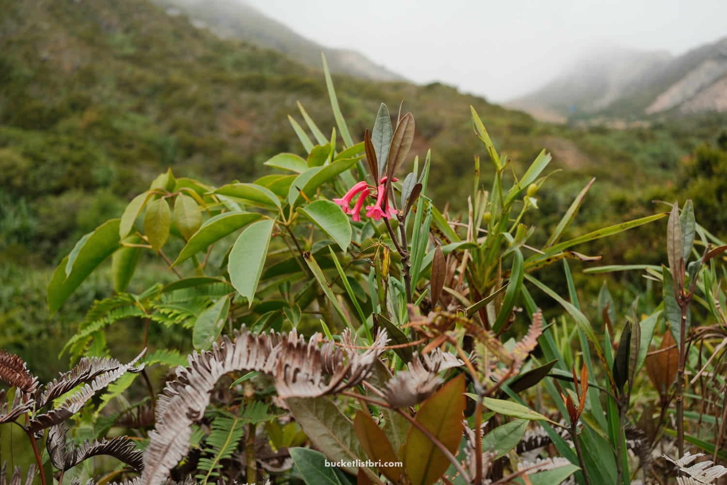
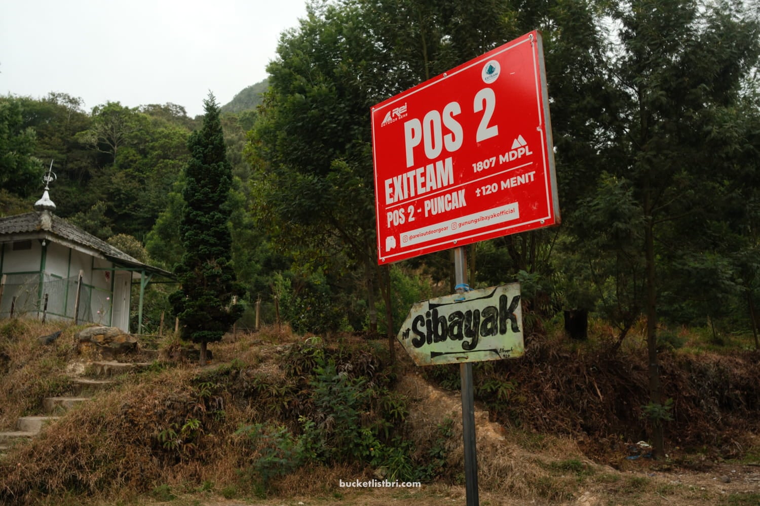
The first part of the trail follows a broken paved road for about 1km. After that, you’ll reach the official registration start of the hike, which also doubles as a convenient shelter area for when it downpours. 😂
Pay the IDR 10,000 fee (per person), and you’ll begin your ascent on the muddy, rainforesty trail.
So, no, you don’t officially need a guide, but it helps make the round-trip transfer, registration check-in/check-out, and any additional hot springs or temple side trips smoother.
Guided tours cost quite a bit more, but feel worth it in my opinion.
Mount Sibayak Sunrise Hike vs Day Hike?
The sunrise hike might sound epic, but is it worth the 03:00 am alarm? I’m not sure.
Our group left our hotel around 9:00 am, and I personally preferred hiking in daylight so I could see what I was looking at.
Sunrise:
- Cool and chance for sunrise light
- More popular
- Guide recommended
Day/Morning Hike:
- Easier logistics (and no early alarm clock)
- Slightly warmer though, with a chance of rain later in the morning/afternoon
- Better for slower itineraries and views from the summit
What to Bring for the Sibayak Hike
Considering this is a half-day trail, you don’t need to pack much other than the essentials:
- Grippy shoes (no need for heavy boots)
- Rain jacket or poncho
- Water
- Snacks
- Cash
- Camera! 📸
My Experience Hiking Mount Sibayak
I went on the Sibayak volcano hike with little expectation. I’ve hiked volcanoes before that were more dramatic, per se, with a slow-moving lava flow from a recent eruption (Pacaya Volcano, Guatemala).
However, the gradual, steady incline and the sounds of the jungle waking up — with monkeys in the distance — definitely created a different atmosphere.
Sibayaka doesn’t have any wild volcano views until you reach the top. On a clear day, you can make out Mount Sinabung — which, to be fair, I could also see from the balcony of my hotel room at Sinabung Hills.
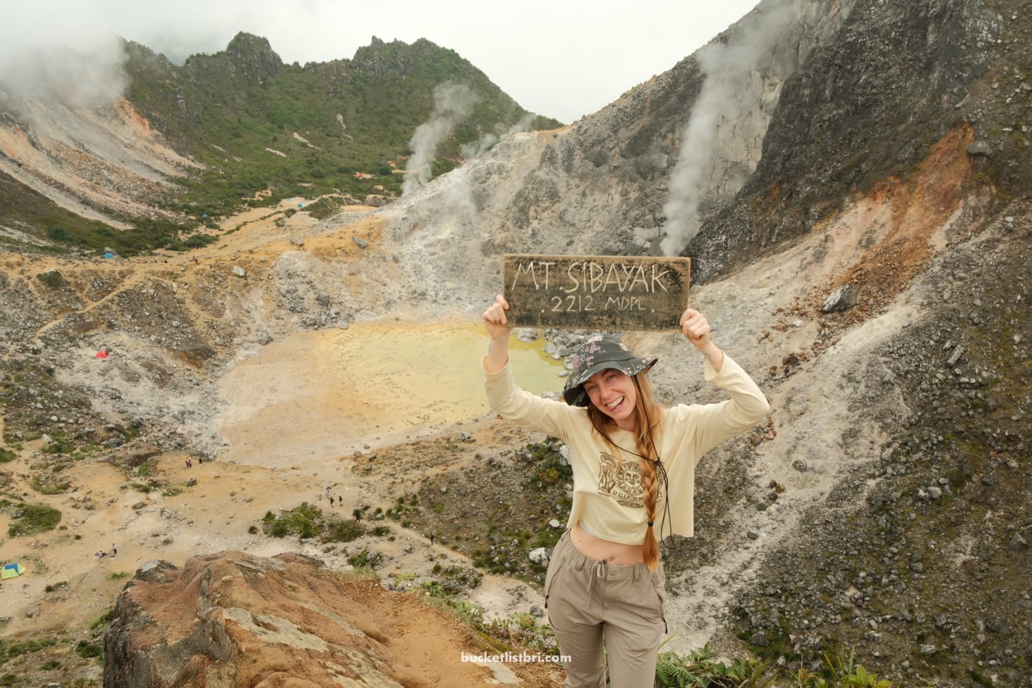
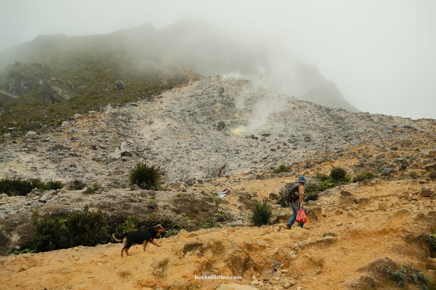
But the coolest view, perhaps, is the smoking crater, with a shallow yellow-and-green lake of pebbles.
Reaching the Smoking Crater
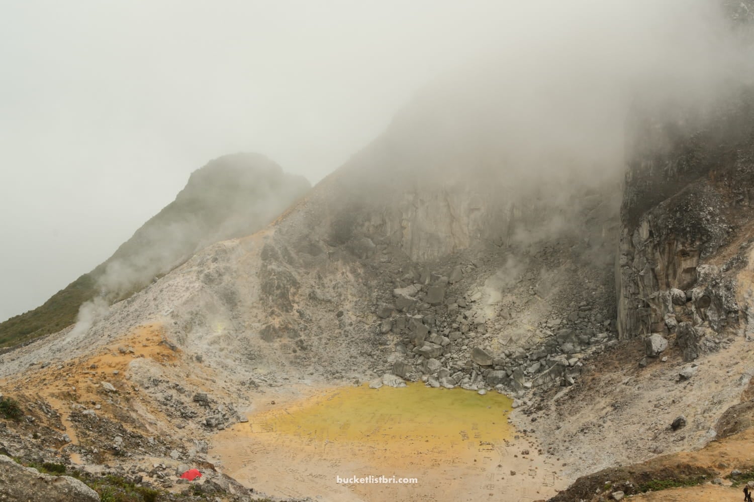
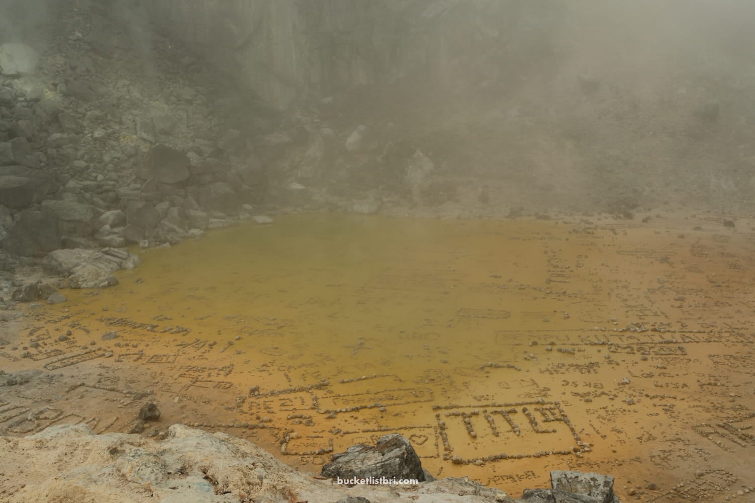
The best views might not be at the summit top, but at the crater lake basin below. From here, you are in the wide, sweeping bowl of Mount Sibayak.
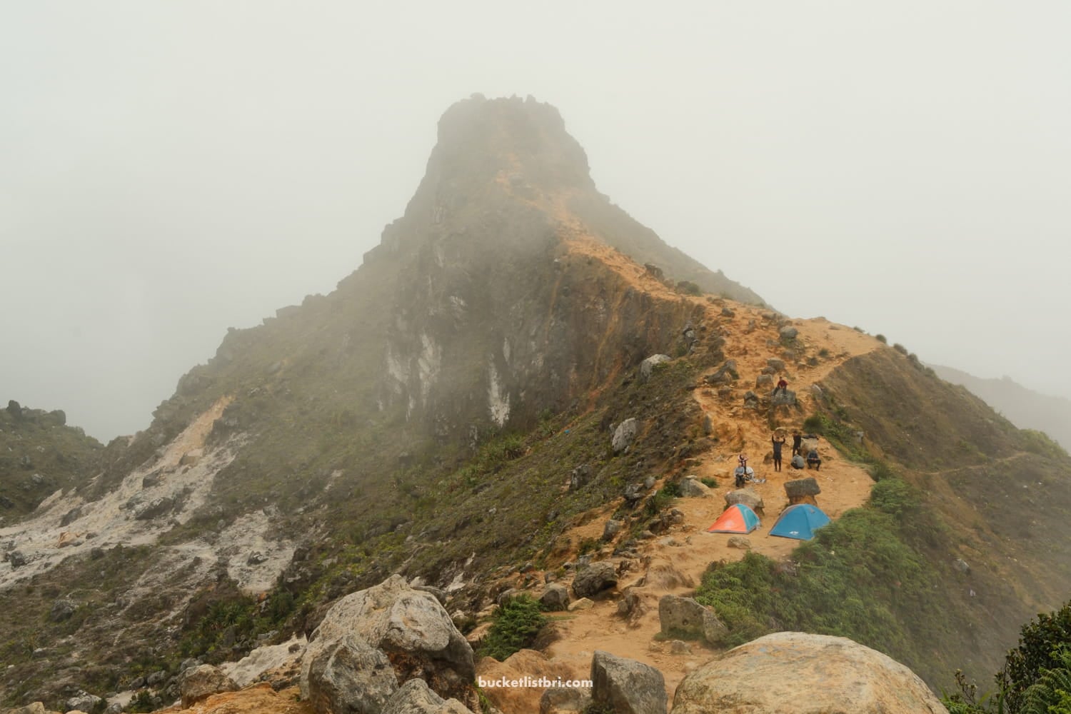
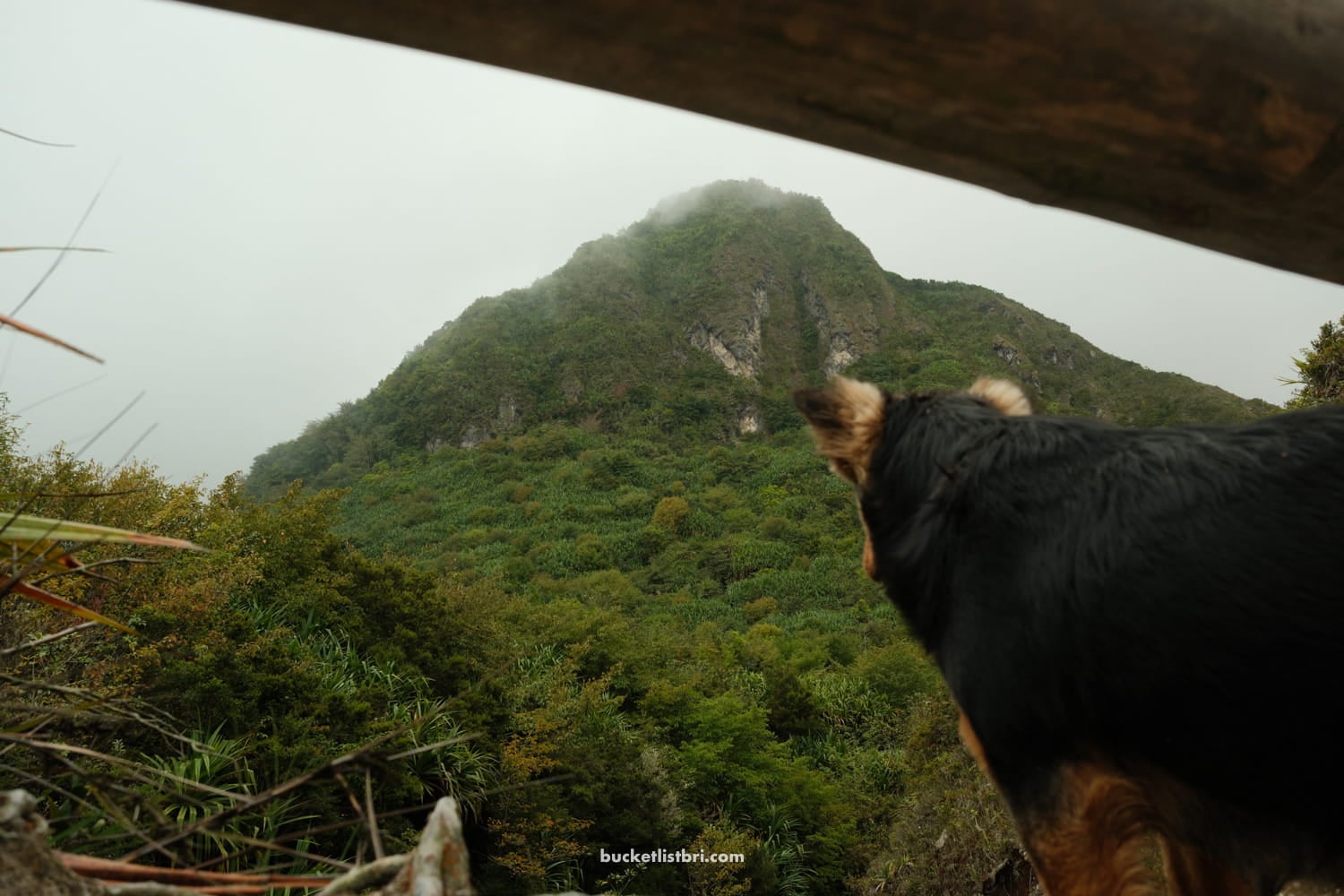
Peering up at the summit is an impressive view on its own. It takes another 20 minutes to climb to the summit — it looks closer than it appears.
Final Push to the Summit
If clouds are moving fast, you might try to reach the summit. At the top of the 2,212 meters is a flat outcropping, with a rocky ledge that’s picture-perfect for a quick photo (but please watch your step!).
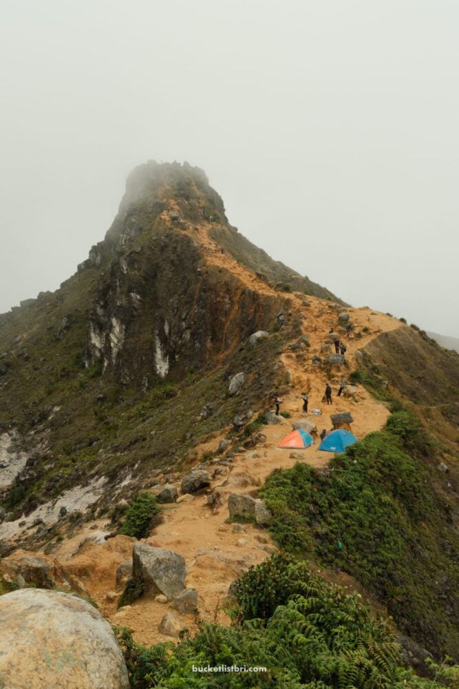
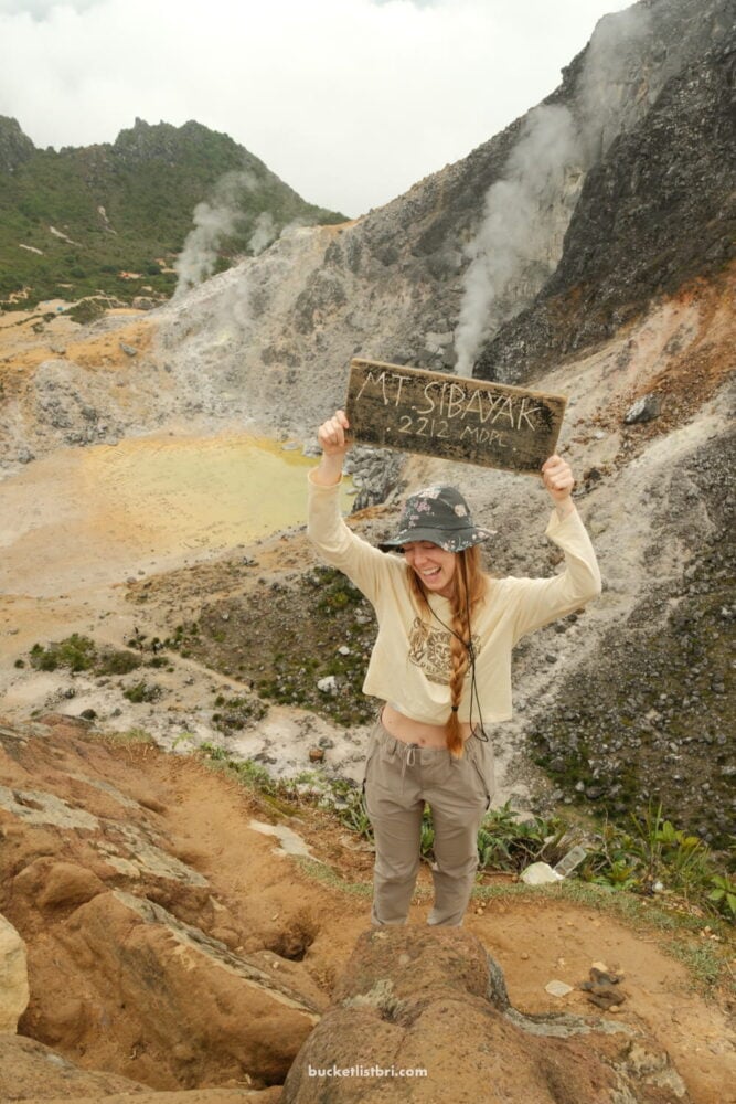
The breeze picks up here, and you can spot Berastagi far below in the valley.
This is probably the steepest section of the hike — right toward the end. You’ll need to use your hands to scramble and balance yourself. Go slow.
Hot Springs After the Hike
One of the reasons to hike Mount Sibayak is to have the excuse to soak your weary feet and knees in the natural hot springs afterward in Semangat Gunung village.
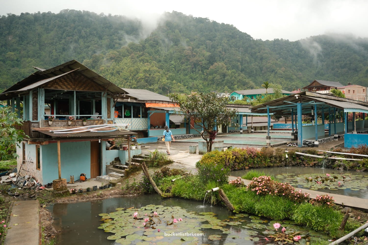
We went to the Sidebuk Debuk thermal baths, located just a quick drive away, about 5km down a rocky, washed-out road.
Travelers and hikers can eat lunch on-site (ours was even delivered hot spring-pool side!). Restrooms and changing rooms are on-site.
There are multiple pools to soak in, with, in theory, different temperatures. Our group plopped down in the nearest available.
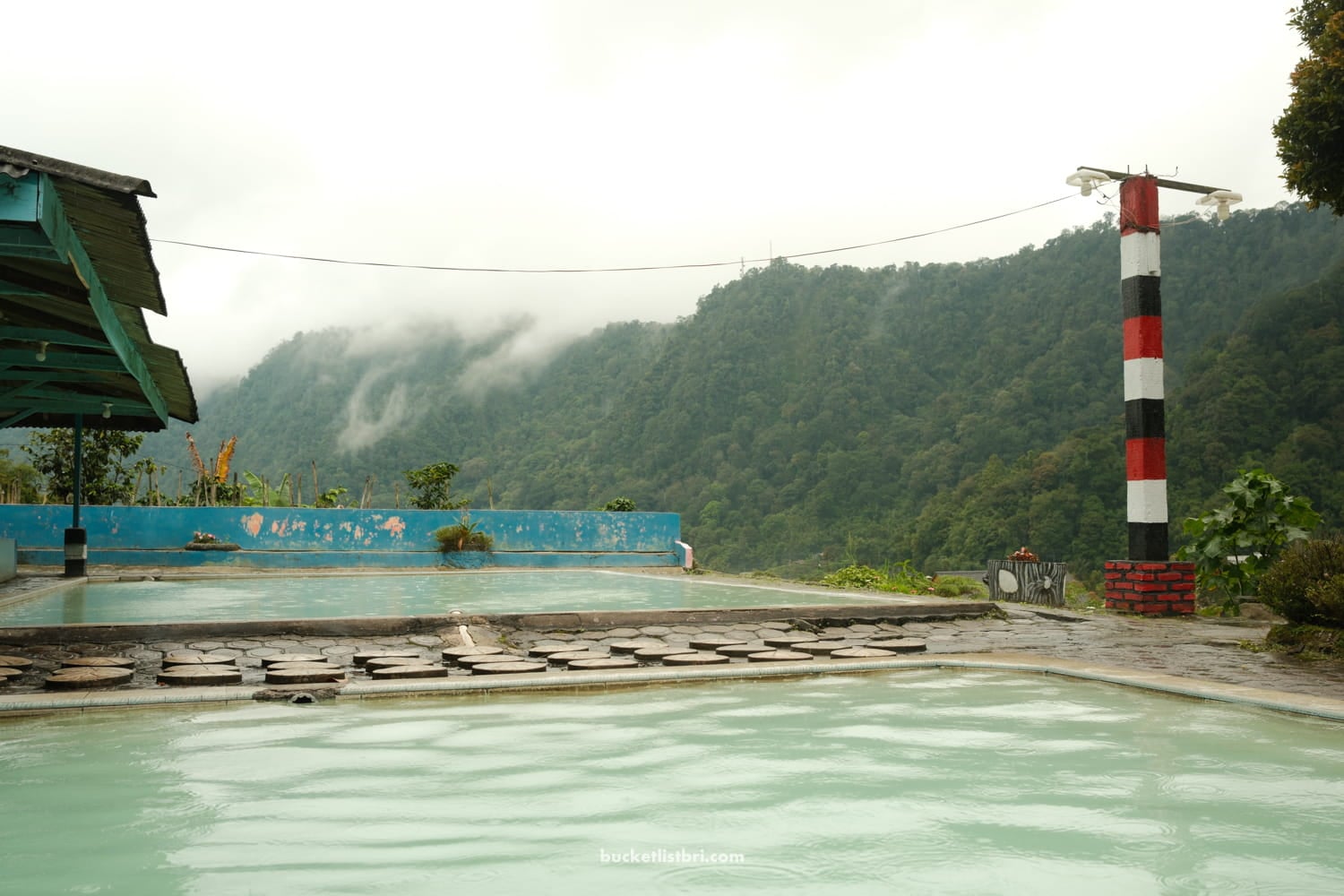
The springs are naturally heated, but collected and curated into man-made pool-like rectangles. The view is still quite nice, looking out over the misty hills.
Overall, is it worth it? I’d say yes!
If you want a rewarding volcano hike in Sumatra, Sibayak is one of the best adventures near Berastagi.